Lowest elevation 550 m (1,800 ft) Postal code 220 26 Local time Wednesday 10:25 AM Regional unit Arcadia | Highest elevation 1,280 m (4,200 ft) Time zone EET (UTC+2) Vehicle registration TP | |
 | ||
Weather 11°C, Wind NE at 13 km/h, 66% Humidity | ||
Paparis saneeeeeeesas e floui de floua adeventures
Paparis (Greek: Πάπαρης) is a village in the municipal unit of Valtetsi, Arcadia, Greece. It is situated on the northern slope of the mountain Tsemperou, at 670 m elevation. It is 4 km south of Athinaio, 4 km east of Anemodouri, 12 km southeast of Megalopoli and 19 km southwest of Tripoli.
Contents
- Paparis saneeeeeeesas e floui de floua adeventures
- Map of Paparis 220 27 Greece
- Panathinaikos paparis
- References
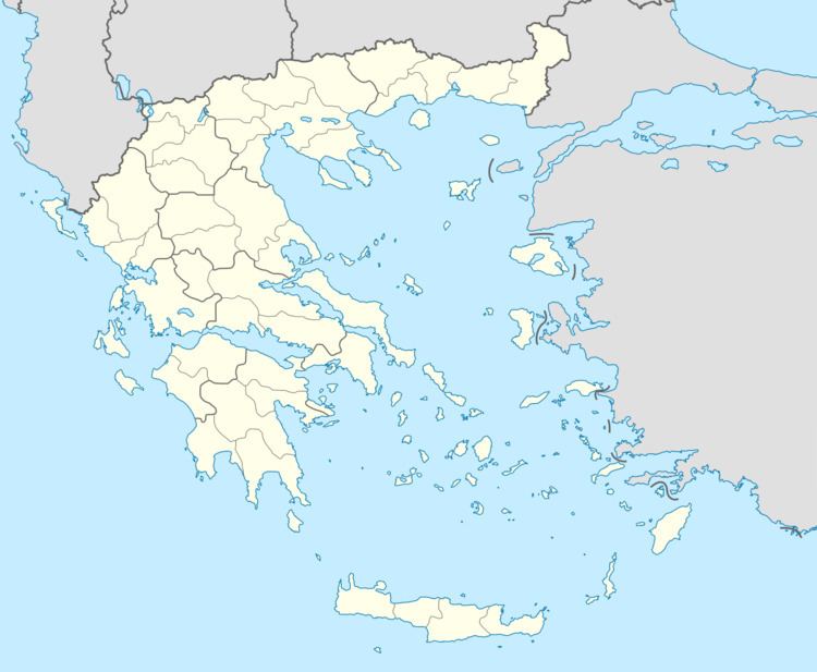
Map of Paparis 220 27, Greece
Panathinaikos paparis
References
Paparis Wikipedia(Text) CC BY-SA
