
OS grid reference SJ193646 Country Wales Postcode district CH7 Local time Wednesday 5:52 AM Ceremonial county Clwyd | Sovereign state United Kingdom Dialling code 01352 | |
 | ||
Weather 3°C, Wind SE at 13 km/h, 95% Humidity | ||
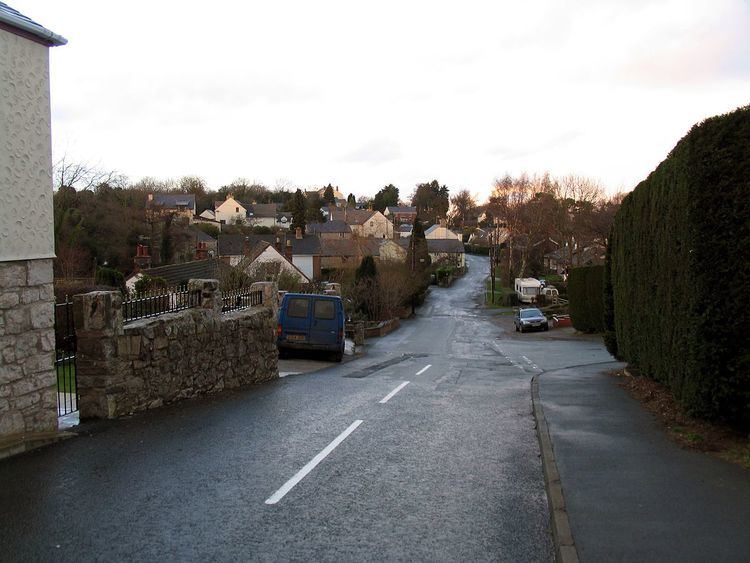
Pantymwyn is a small village just outside Mold in Flintshire, Wales.
Contents
Map of Pantymwyn, Mold, UK
The village is located within a designated Area of Outstanding Natural Beauty, lying on the east side of the Clwydian Range. Pantymwyn is four miles west of Mold and 16 miles west of Chester.
The village has a pub (the Crown Inn), a post office and convenience store, a garage and an 18-hole uplands golf course (the home of Mold Golf Club). During the summer, Pantymwyn holds an annual village fair.
Access to the Loggerheads country park is within short walking distance, as are many walks over the Clwydian Range of mountains. The village is often visited by walkers and cyclists.
The area has a history involving lead mining.
Transport
Townlynx operate the only public bus service in Pantymwyn. Route 6, starting from the village and continues onto Mold and Chester. The service is very popular in the area, and two brand new easy-access buses have been added to the route to make it easier for the elderly to use the bus.
GHA Coaches provide a student service to Yale College, Wrexham.
History
A booklet covering the history of Pantymwyn and Gwernaffield and can be accessed through the Cadwyn Clwyd website.