
Local time Wednesday 5:42 AM | ||
 | ||
Weather 4°C, Wind SE at 5 km/h, 88% Humidity | ||
Pantperthog is a hamlet in southern Gwynedd in Wales, 2 miles north of Machynlleth and 14 miles southeast of Dolgellau. Nearby is the former Llwyngwern quarry, which is now the Centre for Alternative Technology. The Afon Dulas, which here forms the border between Gwynedd and Powys, runs past the hamlet.
Contents
Map of Pantperthog, Machynlleth, UK
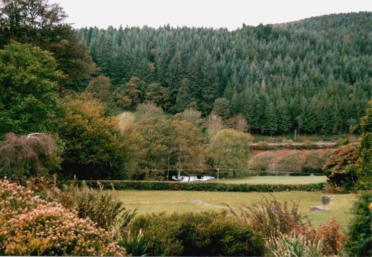
Forestry
The village has strong forestry connections, with part of the Dyfi Forest to the rear of the village. As recently as August 2009 the Esgair forest has set up a site to the rear of the village claiming to be the only organic forest in the UK.
In 2009 a balloon was found in the forest from the great balloon race which had travelled from Ireland, although it was not the race winner.
Transport
The Corris Railway passed through the hamlet en route from Aberllefenni to Machynlleth, with a station at Llwyngwern just to the north of Pantperthog.
The A487 trunk road passes through Pantperthog en route to Machynlleth and Dolgellau. There are six bus stops in the village and surrounding area, two are used for multi directional travel. The Cli - machx mountain bike track is located in the nearby village of Esgairgeiliog.