
Length 280 km | North end: Bangor | |
 | ||
Primarydestinations: FishguardCardiganAberystwythMachynllethPorthmadogCaernarfon | ||
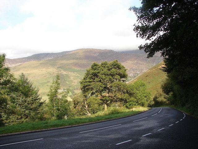
Penparcau road aberystwyth wales a487 road video
The A487, officially also known as the Fishguard to Bangor Trunk Road, is a trunk road in Wales, running up the western side of the country from Haverfordwest in the south to Bangor in the north.
Contents
- Penparcau road aberystwyth wales a487 road video
- Map of A487 SY23 UK
- Alexandra road aberystwyth a487 road video
- Route
- History
- References
Map of A487 SY23, UK
Alexandra road aberystwyth a487 road video
Route
The road starts at a junction with the A40 in Haverfordwest, from where it travels north-west to St David's, then switches north-east through Fishguard, Cardigan, Aberaeron, Aberystwyth, Machynlleth and Corris.
Through the town of Fishguard, the road width in places is a very narrow single lane, leading to many traffic issues, especially with HGVs. As of 2010, articulated HGVs have been banned from a section between Fishguard and Dinas Cross because of this.
The road continues to Dolgellau multiplexing with the A470 north of the Cross Foxes inn. After Dolgellau, the road continues to multiplex with the A470, re-emerging just north of Trawsfynydd then passing through Penrhyndeudraeth and Porthmadog. The road terminates at the foot of the Menai Suspension Bridge near Bangor.
History
The section of road in the Dulas valley between the Afon Dyfi near Machynlleth and Corris was built in the 1840s at the instigation of the local slate quarry owners to replace the old turnpike road on the opposite side of the valley. It may have utilised part of the formation of the Roman Sarn Helen. From 1859 the road was kept company on this section by the narrow-gauge Corris Railway.
The site of Dolgellau railway station along with approximately a mile and a half of trackbed of the former Great Western Railway line from Ruabon to Barmouth was used to construct the Dolgellau bypass in the late 1970s.
A by-pass was constructed around the town of Cardigan in 1989-90, including a new concrete bridge (Priory Bridge) over the River Teifi and a short 3-lane section between the bridge and the junction with the A478 south of the town.
A bypass was opened in 1994 avoiding Y Felinheli on the section between Caernarfon and Bangor.
Between Penrhyndeudraeth and Porthmadog, the road passed over a mile-long embankment, known as The Cob. Until 2003, drivers had to pay a charge to cross The Cob. In 2008 the Welsh Assembly Government published plans for the Porthmadog, Minffordd and Tremadog bypass, which would reduce the amount of through traffic in the town. Work started on the project in 2010, the route of which passes under the Ffestiniog Railway, and then crosses over the Welsh Highland Railway. The original route over The Cob was renumbered as the A4971.
The section between Porthmadog and Llanwnda has been improved. The new section bypasses Llanllyfni and Penygroes, in parts utilizing the old trackbed of the Caernarfon to Afon Wen railway line. In April 2007, the 10-mile new section had to be resurfaced in its entirety after it became apparent that the wrong type of stone had been used for the surface tarmac.
A bat bridge was built over the Groeslon bypass in 2010 to guide lesser horseshoe bats across the road.
It is proposed to build a further bypass to avoid Caernarfon (from the northern end of the Pen-y-groes bypass to the western end of the Y Felinheli bypass) thereafter, with construction due to begin in 2015.