
Floor elevation 1,253 ft (382 m) | ||
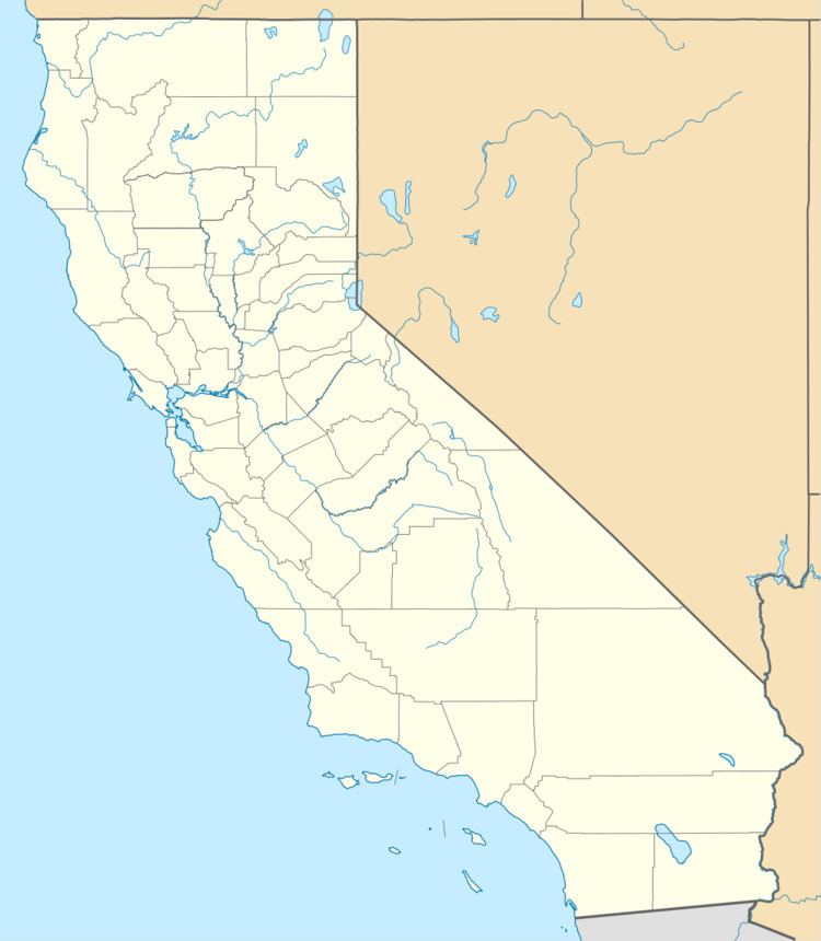 | ||
Watercourses Panoche Creek, Las Aguilas Creek, Bitterwater Canyon Creek, Griswold Canyon Creek | ||
Panoche valley solar farm fight goes back to court
Panoche Valley, is a grassland valley lying east of the Diablo Range, bound on the east by Panoche Hills, on the south by the Cerro Bonito and Griswold Hills in San Benito County, California. Panoche Valley was originally called Valle de Panoche Grande, later anglicized as Big Panoche Valley, after the former names of Panoche Creek that runs through it. Panoche is Mexican Spanish for a coarse grade of sugar made in Mexico, also for a diminutive of pano, (bread). The upper end of the valley has its location northwest of Walker Peak where the creek enters the Diablo Range at 36°36′59″N 120°56′29″W.
Contents
- Panoche valley solar farm fight goes back to court
- Kqed climate watch solar plans for panoche valley
- References
The town of Panoche, lies in this valley.
Panoche Valley is also the proposed site of Panoche Valley Solar Farm.
Kqed climate watch solar plans for panoche valley
References
Panoche Valley Wikipedia(Text) CC BY-SA