
Elevation 675 m Country United States of America | Topo map USGS Chounet Ranch | |
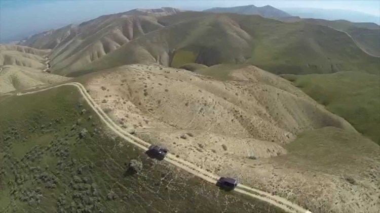 | ||
Panoche hills blm land shooting 30 guns
The Panoche Hills are a low mountain range in the Southern Inner California Coast Ranges System, in western Fresno County, California.
Contents
- Panoche hills blm land shooting 30 guns
- Map of Panoche Hills California USA
- Panoche Hills Recreation Area
- Panoche Hills Ecological Reserve
- Natural history
- References
Map of Panoche Hills, California, USA
They are east of the Diablo Range, on the west side of the San Joaquin Valley. They define the eastern side of the Panoche Valley.
Panoche Hills Recreation Area
The US Bureau of Land Management (BLM) maintains the Panoche Hills Recreation Area, a recreation area within the hills. The entrance to the BLM area is across Little Panoche Road from the Mercey Hot Springs resort.
Panoche Hills Ecological Reserve
The California Department of Fish and Game also maintains the Panoche Hills Ecological Reserve, an ecological reserve within the hills.
Natural history
The Hills contain examples of fossilized remains of Mesozoic era cold seeps.
References
Panoche Hills Wikipedia(Text) CC BY-SA