
District Tuticorin PIN 628751 Local time Wednesday 8:34 AM | Time zone IST (UTC+5:30) Telephone code 91-4630 | |
 | ||
Weather 30°C, Wind NE at 10 km/h, 75% Humidity | ||
Pannaivilai is a small village covered by Palmyra trees in Tuticorin District, Tamil Nadu, India. Then this small village have one Hindu Middle school.
Contents
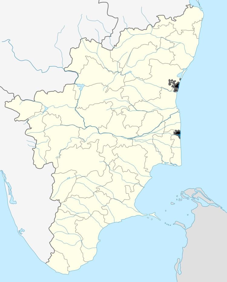
Map of PannaiVillai, Tamil Nadu
Geography
Pannaivilai is situated near Eral of Thoothukudi district. On the north side it is surrounded by a big pool called 'Perungulam'.
Demographics
Everybody in the village belongs the Nadar community. Christianity is the main religion followed (most of them C.S.I Christians).
The nearby cities are Tirunelveli (47 km) and Thoothukudi (45 km). The nearest railway stations are Nazareth (25 km) and Kurumbur (13 km). The nearest harbor and airport is situated at Thoothukudi (47 km).
Places of worship
Landmark
Pannaivilai puthur is situated on the East of Pannaivilai, on the West is Perungulam Lake, Pandaravilai, Mannarayanthattu, on the South Pannaivilai Bungalow, Perungulam village (Town Panchayat) Eral and on the North is Kombukaranpottal, Nattathi and Sawyerpuram. Pannaivilai is 23 km south of Tuticorin, (District Headquarters) Tuticorin is mainly famous for salt manufacturing, shipping etc.,