
Postcode(s) 3512 Elevation 91 m Postal code 3512 | Local time Wednesday 1:26 PM | |
 | ||
Location 560 km (348 mi) from Melbourne238 km (148 mi) from Mildura23 km (14 mi) from Pinnaroo10 km (6 mi) from Carina Weather 25°C, Wind SE at 24 km/h, 50% Humidity | ||
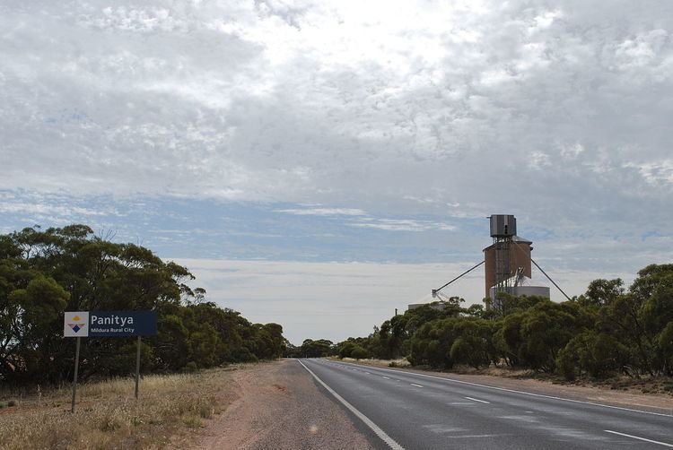
Panitya is a locality situated in the Sunraysia region. The place by road, is situated about 23 kilometres east from Pinnaroo and 10 kilometres west from Carina on the Mallee Highway.
Map of Panitya VIC 3512, Australia
Panitya is a railway station on the Ouyen to Pinnaroo line.
The Post Office opened in 1910 and was closed in 1975.
The area of the locality contains a number of smaller areas, namely Panitya East which had a post office open from 1916 until 1933, Berrook which had a post office open from 1929 until 1935, Manya with a post office from 1928 until 1936, Sunset with a post office from 1921 until 1948 and, below the Mallee Highway, Ngallo.
References
Panitya, Victoria Wikipedia(Text) CC BY-SA