
Vehicle registration WB Local time Wednesday 7:25 AM | Time zone IST (UTC+5:30) Lok Sabha constituency Howrah Population 7,787 (2011) | |
 | ||
Weather 23°C, Wind S at 10 km/h, 90% Humidity | ||
Paniara moharam
Paniara is a census town in Panchla CD Block under Panchla police station in Sadar subdivision of Howrah district in the Indian state of West Bengal.
Contents
- Paniara moharam
- Map of Paniara Dhulagori Howrah West Bengal
- Jashne eadd e miladunnabi juluse of paniara
- Geography
- Demographics
- Transport
- References
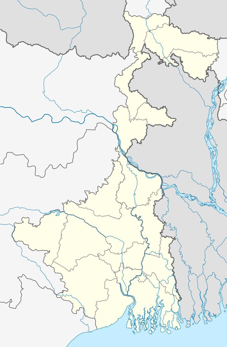
Map of Paniara, Dhulagori, Howrah, West Bengal
Jashne eadd e miladunnabi juluse of paniara
Geography
Paniara is located at 22°33′05″N 88°09′52″E
Demographics
As per 2011 Census of India Paniara had a total population of 7,787 of which 3,961 (51%) were males and 3,826 (49%) were females. Population below 6 years was 984. The total number of literates in Paniara was 5,463 (80.30 % of the population over 6 years).
As of 2001 India census, Paniara had a population of 6708. Males constitute 51% of the population and females 49%. Paniara has an average literacy rate of 62%, higher than the national average of 59.5%: male literacy is 68%, and female literacy is 56%. In Paniara, 15% of the population is under 6 years of age.
Transport
Paniara is located on NH 6.