
Time zone IST (UTC+5:30) ISO 3166 code ISO 3166-2:IN | Tehsil Kosiyakutoli Website uk.gov.in | |
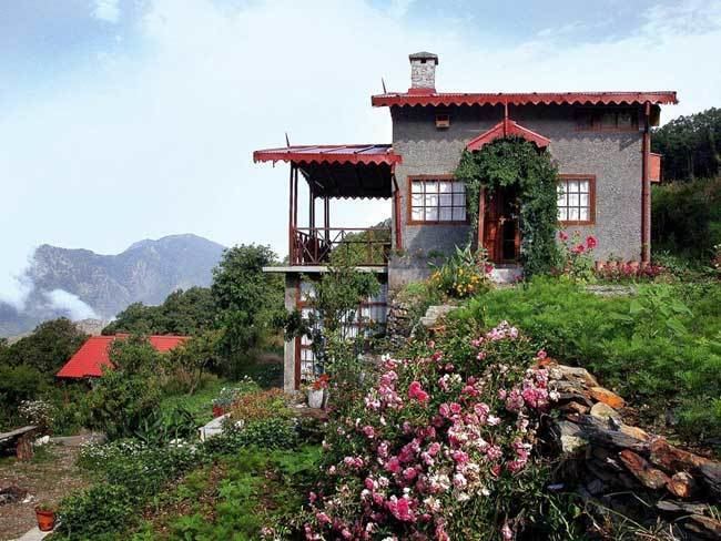 | ||
Hidden valley camps resorts pangot nainital uttarakhand
Pangot is a village in the Kosiyakutoli tehsil of Nainital district in Uttarakhand, India, and a tourist destination at a height of 6,300 feet.
Contents
- Hidden valley camps resorts pangot nainital uttarakhand
- Map of Pangoot Uttarakhand 263001
- Pangot nainital
- Tourism
- References
Map of Pangoot, Uttarakhand 263001
Pangot nainital
Tourism
Pangot is located about 13 kilometers from Nainital, which is a popular hill station. The drive to here passes through the forested area of Cheena Peak Range via Snow View Point and Kilbury, which are birding spots.
The main attraction of Pangot are its birds; around 580 bird species have been recorded in this area. One can see a variety of Himalayan species along the way such as lammergeier, Himalayan griffon, blue-winged minla, spotted & slaty-backed forktail, rufous-bellied woodpecker, rufous-bellied niltava, khalij pheasant, variety of thrushes etc. Almost 150 bird species have been recorded at Pangot and the surrounding areas. The numerous perennial & seasonal creeks are home to a variety of flora and fauna including leopards, yellow-throated Himalayan martens, Himalayan palm civets, ghorals, barking deer and sambhar.
Roughly in Summers (March–July) temperatures can range from 25 °C in Morning/Noon to 12 °C at Night. In Winters (December–January) temperatures range from 18 °C in Morning/Noon to 8 °C at Night. Carrying a light jacket & a sweater is recommended.