
Vehicle registration ΚΒ Local time Wednesday 3:06 AM Points of interest Paralia Almira | Time zone EET (UTC+2) Area 698 km² Team Vrasidas Nea Peramos FC | |
 | ||
Weather 11°C, Wind SE at 0 km/h, 73% Humidity Administrative region | ||
Pangaio (Greek: Παγγαίο) is a municipality in the Kavala regional unit, Greece, named after the Pangaion hills. The seat of the municipality is in Eleftheroupoli.
Contents
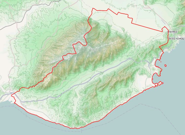
Map of Paggeo, Greece
Municipality
The municipality Pangaio was formed at the 2011 local government reform by the merger of the following 5 former municipalities, that became municipal units:
The municipality has an area of 701.427 km2, the municipal unit 79.634 km2.
Province
The province of Pangaio (Greek: Επαρχία Παγγαίου) was one of the provinces of the Kavala Prefecture. It had the same territory as the present municipality, except a part of the municipal unit Eleftheroupoli. It was abolished in 2006.
References
Pangaio Wikipedia(Text) CC BY-SA