
Website Official website Local time Wednesday 3:59 AM | Area 816 km² Tehsil 1. | |
 | ||
Weather 22°C, Wind N at 10 km/h, 35% Humidity Lok sabha constituency Ambala (shared with Ambala and Yamuna Nagar districts) Points of interest | ||
Panchkula district (Hindi: पंचकुला़ जिला; Punjabi: ਪੰਚਕੂਲਾ ਜ਼ਿਲ੍ਹਾ) was formed as the 17th district of Haryana state in India on 15 August 1995. It comprises two sub divisions and two tehsils: Panchkula and Kalka. It has 264 villages out of which twelve are un-inhabited and ten wholly merged with towns or treated as census towns according to the 1991 census. There are five towns in the district: Barwala, Kalka, Panchkula, Pinjore and Raipur Rani. The total population of the district is 319,398 out of which 173,557 are males and 145,841 are females.
Contents
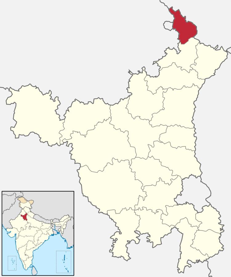
Map of Panchkula, Haryana
As of the 2011 Census of India, it was the least populous district of Haryana out of 21.
Panchkula city is the headquarters of this district. Chandimandir Cantonment is located in this district, adjoining the Panchkula Urban Estate.
Demographics
According to the 2011 census Panchkula district had a population of 558,890, roughly equal to the Solomon Islands or the US state of Wyoming. This ranked it 537th in India out of a total of 640 districts. The district has a population density of 622 inhabitants per square kilometre (1,610/sq mi) . Its population growth rate over the decade 2001-2011 was 19.32%. Panchkula has a sex ratio of 870 females for every 1,000 males, and a literacy rate of 83.4%. Punjabi and Hindi are the dominant languages of Panchkula District.