
Elevation 733 m (2,405 ft) | Microregion Meia Ponte Microregion Time zone BRT/BRST (UTC-3/-2) | |
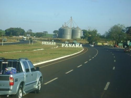 | ||
Panamá is a municipality in south Goiás state, Brazil.
Contents
- Map of PanamC3A1 State of GoiC3A1s Brazil
- Location
- History
- Political Information
- Demographics
- Economy
- Education
- Health
- References
Map of Panam%C3%A1 - State of Goi%C3%A1s, Brazil
Location
Panamá is located in the Meia Ponte Microregion and is about 25 kilometers north of the border with the state of Minas Gerais. It is a short distance west of the important BR-153 highway which links São Paulo to Belém. Panamá is 26 kilometers south of Goiatuba and 25 kilometers from Itumbiara. The distance to Goiânia is 188 km.
Neighboring municipalities are:
History
Panamá began with the building of a chapel by a local landowner. In 1931 it became a district of Santa Rita do Paranaíba (present-day Itumbiara with the name Divinópolis. In 1943 the name was changed to Panamá and Santa Rita changed to Itumbiara. In 1950 it was dismembered from Itumbiara. The name comes from a small river called Panamá.
Political Information
Demographics
Economy
The economy is based on agriculture, cattle raising, services, public administration, and small transformation industries.
In 2006 there were 221 farmers with a planted area of 6,368 hectares. The total agricultural area was 16,567 ha.. Pasture made up 9,290 ha.
Education
Health
The United Nations Human Development Index (2000) ranked Panamá 131 out of 242 municipalities in the state of Goiás with a score of 0.733.
For the complete list see Frigoletto