
Founded January 2, 1857 Subdivisions 43 hamlets Elevation 2,862 m | Region Ancash Time zone PET (UTC-5) Area 496.4 km² | |
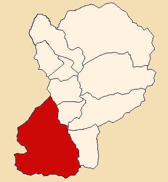 | ||
The Pamparomas District is one of 10 districts in the Huaylas Province in the Ancash Region of Peru. The capital of the district is the village of Pamparomas.
Contents
History
The district was founded on January 2, 1857.
Location
The district is located in the south-western part of the province at an elevation of 2,862m in the black mountains (Spanish: Cordillera Negra). The provinces capital Caraz is located at a distance of 80 km. The nearest large city is the city of Chimbote, located on the pacific coast at a distance of 140 km from Pamparomas.
Political division
The district is divided into 43 hamlets (Spanish: caseríos, singular: caserío):
Pamparomas Valley
Chaclancayo Valley
Pisha Valley
Ethnic groups
The people in the district are mainly indigenous citizens of Quechua descent. Quechua is the language which the majority of the population (81.62%) learnt to speak in childhood, 18.19% of the residents started speaking using the Spanish language (2007 Peru Census).