
Peak Quñuqranra State/Province Ancash Region | Length 230 km (140 mi) N-S | |
 | ||
Mountains | ||
Individual tour lagune llaca pass portachuelo camping in cordillera negra
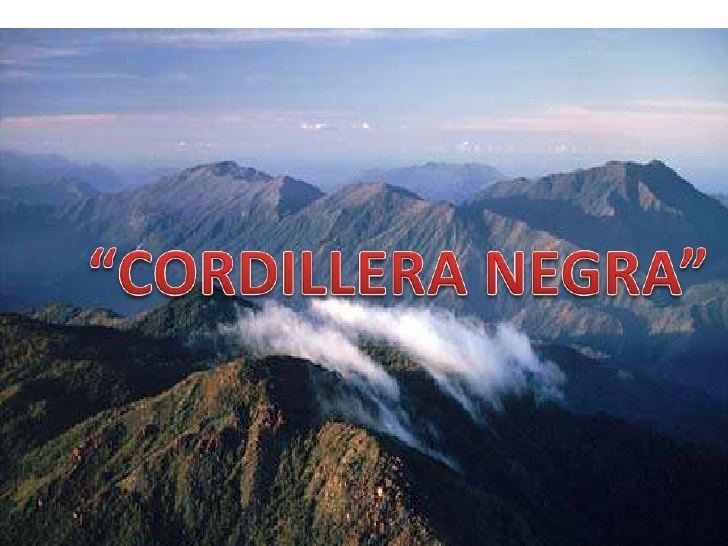
The Cordillera Negra (Spanish for "black range") is part of the Cordillera Occidental, one of three mountain ranges in the Andes of west central Peru. It is almost entirely located within the Ancash Region.
Contents
- Individual tour lagune llaca pass portachuelo camping in cordillera negra
- Map of Cordillera Negra Peru
- Mountains
- Routes
- Guitarrero Cave
- References
Map of Cordillera Negra, Peru
The range extends over an area about 230 km long and 25–40 km wide, stretching in a NNW-SSE direction parallel to the Pacific coast, its ridge is about 60 km from the coastline. It is part of the Andes mountain range which inland borders on the Costa, the narrow strip of coastal deserts along the South American coast. In the north and east the range is bordered by the Santa River which crosses the coastal ridge at 8° 45' S and runs parallel to the Cordillera Negra for almost all its length. In the south the range is bordered by the Patiwillka River at 10° 30'. In the central part of the range near Huaráz, Casma River breaks through the ridge of the range.
The Cordillera Negra has rocky peaks with very little winter snowfall. The gullies of the Cordillera Negra are gloomy and dark. Most of them are dry or their flow is scarce.
The Santa River separates the Cordillera Negra from the Cordillera Blanca, a snow-covered range rising up to 6,768 m in the east almost parallel to it. Most of the year it has no snow although it rises up to 5,181 m in its highest parts. It intercepts the warmth from the Pacific Ocean, causing the line of perpetual snow sinking as low as 5,100 m in the Cordillera Blanca.
Today the Cordillera Negra is sparsely inhabited by a mainly indigenous population growing wheat, maize and oats at an elevation of well above 4,000 m. The range is rich in mineral resources like gold, silver and copper.
Mountains
The highest mountain in the range is Quñuqranra at 5,181 metres (16,998 ft). Other mountains are listed below:
The highest pass road of the Cordillera Negra is the Wank'ap'iti pass at 4,680 m above sea level.
Routes
The route Casma-Huaraz is not a very highly travelled road. The highway begins with a paved path that arrives up to Yaután. Then it quickly begins to ascend through an unpaved path by the sides of the Cordillera Negra, following the course of the Casma River. This route becomes more steep once it arrives to Pariacoto. Along the road, there are not important towns at all, except for Pira that offers some traveler's services.
This route, extremely steep and narrow, goes between big abysses and gullies. It can be seen small rural districts with chakras (smallholdings) that have been sown with potatoes, wheat, barley and other food products. It can also be seen livestock and a lot of human activity.
Guitarrero Cave
In the 1960s, the Guitarrero Cave was discovered on the northern edges of Cordillera Negra, a cave containing bones of mastodon and llama and suggesting human occupation as far back as 10,950 to 10,230 BC.