
515775 515 xxx Area 31.56 km² Population 26,886 (2011) | Time zone IST (UTC+5:30) Nearest city Anantapur Elevation 284 m Local time Tuesday 11:19 PM | |
 | ||
Weather 31°C, Wind E at 10 km/h, 42% Humidity Neighborhoods 5th Ward, Chaitanya Colony, Nehru Nagar | ||
Ghost caught in camera villagers scared of devil in pamidi anantapur tv5 news
Pamidi is a town in Anantapur district of the Indian state of Andhra Pradesh. It is a nagar panchayat in Pamidi mandal of Anantapur revenue division.
Contents
- Ghost caught in camera villagers scared of devil in pamidi anantapur tv5 news
- Map of Pamidi Andhra Pradesh
- Geography
- Demographics
- Etymology
- References
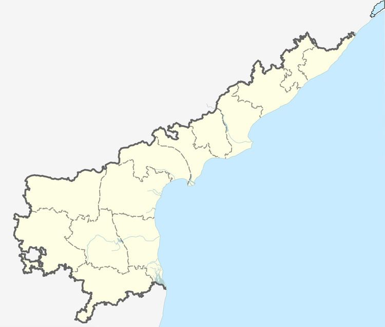
Map of Pamidi, Andhra Pradesh
Geography
Pamidi is located at 14.9500°N 77.5833°E / 14.9500; 77.5833. It has an average elevation of 284 metres (935 ft).
Demographics
As of 2011 Census of India, the town had a population of 26,886. The total population constitutes 13,583 males, 13,303 females, and 2,992 children, in the age group of 0–6 years. The average literacy rate is 68.0%.
Etymology
The name "Pamidi" is derived from the words "Pamu Mudi" (in the Indian regional language Telugu) which means "snake knot". The name is thought to be attributed to the temple Bhogeswaraswamy Temple of Lord Shiva [The Destroyer of Evil, in the Indian mythology of the Trinity — Creator (Brahma), Proliferator (Vishnu), and Destroyer, (Shiva, aka, Eashwara, Maheshwara, etc.)], where once a snake (nagu) was found wound coiled itself to Lord Shiva's lingam in the temple. "Pamu Mudi" eventually became "Pamidi". One can find a sasan carved in a big rock in the temple, which was written in the Pali language (popular during the time of The Buddha, over 2,000 years ago) at the dedication the temple from a king to the village.
The town also had another historical temple found in excavations, the Sri Laxminaraya Swamy Temple. Its deity, Laxminarayana in the sanctum sanctorum made of monolithic rock, is an architectural wonder.