
Country United States GNIS feature ID 741137 Local time Tuesday 10:11 AM | Time zone Central (CST) (UTC-6) Elevation 248 m Area code 660 | |
 | ||
Weather 13°C, Wind E at 18 km/h, 64% Humidity | ||
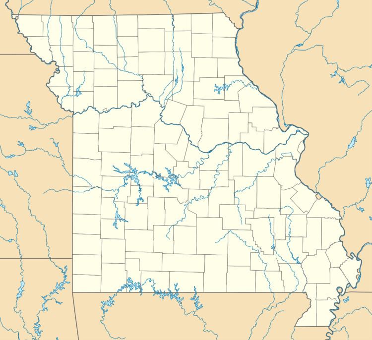
Palo Pinto is an unincorporated community in Benton County, Missouri, United States. Palo Pinto is 6.6 miles (10.6 km) west of Lincoln.
Contents
Map of Palo Pinto, White Township, MO 65338, USA
History
Palo Pinto was founded in 1876. A post office called Palo Pinto was established in 1877, and remained in operation until 1904. The name may be a transfer from Palo Pinto County, Texas.
References
Palo Pinto, Missouri Wikipedia(Text) CC BY-SA