
Length 235 mi (378 km) Trail difficulty Easy to moderate | Season All seasons | |
 | ||
Use Hiking and mountain bikingEquestrian on a few passages Trailheads | ||
Palmetto trail q a
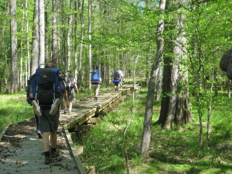
The Palmetto Trail is a planned 425-mile-long (684 km) foot and mountain bike trail in South Carolina for recreational hiking and biking. Several of the sections are also equestrian trails. It will extend from the Oconee County mountains to the Intracoastal Waterway in Charleston County. It currently consists of 23 segments totaling 235 miles (378 km). Maps and trail guides are available.
Contents
The trail is sponsored by the Palmetto Conservation Foundation in cooperation with the South Carolina Department of Parks, Recreation, and Tourism. The trail has support from the South Carolina General Assembly. Actual trail construction has been aided by volunteer groups, land managers, Santee Cooper, the South Carolina National Guard, and many others.
The palmetto trail swamp fox passage part 1
Mini-trail guide
Maps
References
Palmetto Trail Wikipedia(Text) CC BY-SA