
Country United States Time zone Central (CST) (UTC-6) Elevation 285 m | State Minnesota ZIP code 55084 Local time Tuesday 8:35 AM | |
 | ||
Weather -4°C, Wind N at 23 km/h, 51% Humidity | ||
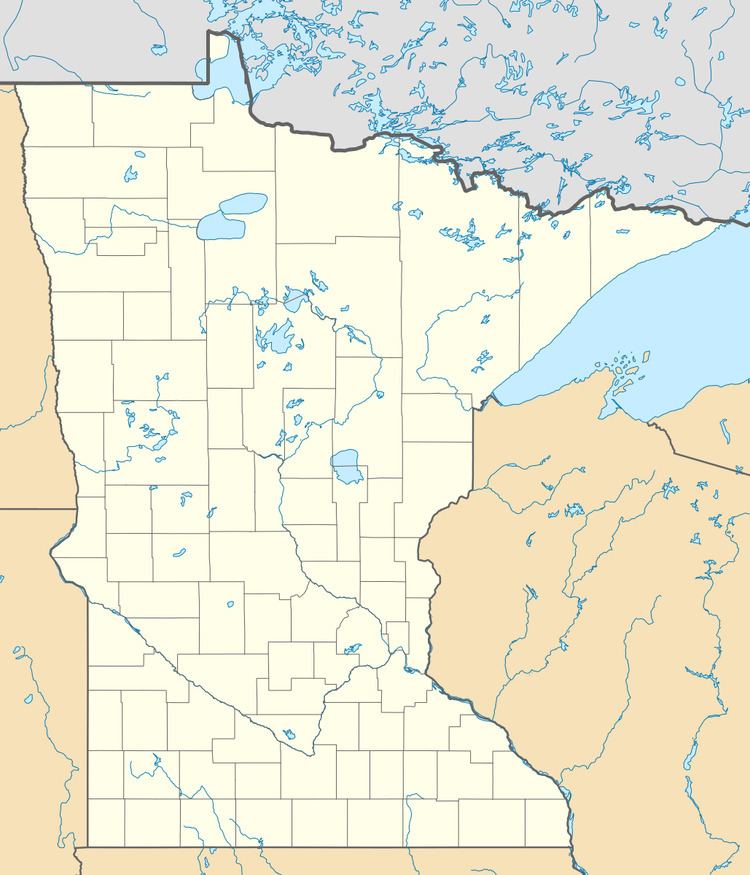
Palmdale is an unincorporated community in Shafer Township, Chisago County, Minnesota, United States.
Map of Palmdale, MN 55074, USA
The community is located north of Taylors Falls at the junction of State Highway 95 (MN 95) and 350th Street. Dry Creek flows through the community. Nearby places include Taylors Falls, Shafer, Center City, Almelund, North Branch, and Wild Mountain Ski Recreation Area.
ZIP codes 55084 (Taylors Falls) and 55074 (Shafer) meet near Palmdale.
References
Palmdale, Minnesota Wikipedia(Text) CC BY-SA