Time zone IST (UTC+5:30) Population 10,340 (2001) | Sub-district Hosdurg Local time Tuesday 10:37 AM ISO 3166 code ISO 3166-2:IN | |
 | ||
Weather 32°C, Wind NE at 5 km/h, 63% Humidity | ||
Palavayal full hd
Palavayal is a village in the eastern hilly areas of Kasaragod district in the Indian state of Kerala.Palavayal consists of small villages like Odakkolly, Chavaragiri and Thayyeni. Palavayal is separated from another to wn Pulingome (Separated by Tejaswini River and connected by a bridge across this River) which is in Kannur District. The population was 10,340 at the 2001 Indian census.
Contents
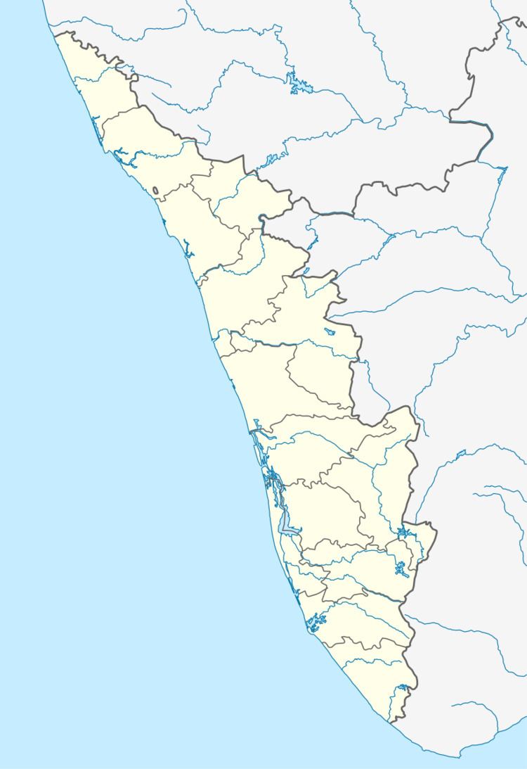
Map of Palavayal, Kerala 670511
Geography
Palavayal is situated on the banks of the Tejaswani River which is originated from Brahmanagar Hills in Karnataka. It is the main gateway to Coorg district, Karnataka.
Demographics
As of the 2001 Indian census, Palavayal had a population of 10,340 in 2,293 households. Males constitute 51% of the population and females 49%.
Transportation
This village is connected to Karnataka state through Panathur. There is a 20 km road from Panathur to Sullia in Karnataka from where Bangalore and Mysore can be easily accessed. Locations in Kerala can be accessed by driving towards the western side. The nearest railway station is Nileshwar railway station on Mangalore-Palakkad line. There are airports at Mangalore and Calicut.
