Province Jakarta | ||
 | ||
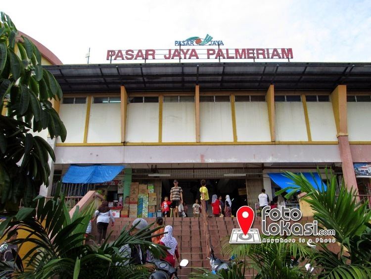
Pal Meriam is an administrative village (kelurahan in Indonesian) in Matraman subdistrict, East Jakarta. The border of Pal Meriam are :
Contents
Map of Palmeriam, Matraman, East Jakarta City, Jakarta, Indonesia
The postal code of this administrative village is 13140.
Toponym
The name Pal Meriam was derived from paal meriam, meaning the place where the cannon were ready to shoot. This name was given by the native people because of a British arsenal in this place. British troops arrived in Batavia from Malacca in August 1811 aiming to seize the Dutch East Indies from the Dutch, who were at the time a vassal state of France. The Dutch army under the leadership of Governor-General Herman Willem Daendels resisted with some success, but was eventually defeated by the British
References
Pal Meriam Wikipedia(Text) CC BY-SA
