
Max. length 26 miles (42 km) Max depth 30 m Surface elevation 216 m | Primary inflows Basin countries United States Surface area 1,139 acres (4.61 km) Area 4.609 km² Length 41.8 km | |
 | ||
Similar Paintsville Lake State Park, Fishtrap Lake, Dewey Lake, Yatesville Lake State Park, Mountain Homeplace | ||
Paintsville lake johnson county kentucky
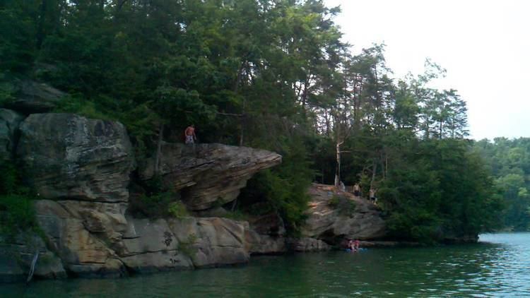
Paintsville Lake is a 1,139-acre (4.61 km2) reservoir in Johnson and Morgan counties in eastern Kentucky. It was impounded from Paint Creek in 1983 by the United States Army Corps of Engineers. It is the major attraction of Paintsville Lake State Park.
Contents
- Paintsville lake johnson county kentucky
- Map of Paintsville Lake Kentucky USA
- Paintsville lake tournament
- HistoryEdit
- Fish speciesEdit
- References
Map of Paintsville Lake, Kentucky, USA
Paintsville lake tournament
HistoryEdit
Paintsville Lake officially opened to the public in 1983, three years before Paintsville Lake State Park was established.
On December 9, 1978, ten-thousand Johnson County residences had to be evacuated from the area below the construction site of the Paintsville Lake dam. This is because the area had recently received eight inches (200 mm) of rain, which had caused a leak in the coffer dam that was keeping the construction site of the actual dam dry. The dam did not break, and the residents were allowed to return to their homes the following day.
Fish speciesEdit
Paintsville Lake has a variety of game fishing species. Fish that can be caught in the lake include: