
Local time Tuesday 12:41 AM | Population 10,499 (2011) | |
 | ||
Weather 19°C, Wind SE at 3 km/h, 71% Humidity | ||
Paina (Hindi: पैना, Bhojpuri: पैना) is a village and Nyaya Panchayat situated along the bank of Sarayu(Ghaghra) river in the eastern part of the state of Uttar Pradesh in India. It comes under administration of Deoria District and Gorakhpur Division. It is located 33 km towards South from District headquarters Deoria and 340 km from State capital Lucknow.
Contents
- Map of Paina Uttar Pradesh 274604
- Formation
- Role in Freedom Movement of 1857
- Economy
- Education
- References
Map of Paina, Uttar Pradesh 274604
Deubari (4 km), Telia Afgan (4 km), Nadua (4 km), Akuba (5 km), Gopalapar (5 km) are the nearby Villages to Paina. Paina is surrounded by Bhagalpur Tehsil towards South, Salempur Tehsil towards East, Bhaluani Tehsil towards North, Fatehpur Madaun Tehsil towards South. Lar, Rudrapur, Deoria, Adari are the nearby Cities to Paina.
Satraon and Sisai Gulabrai Railway Stations of North Eastern Railway Zone are the very nearby railway stations to Paina.
It is located at the border of the Deoria District, Ballia District and Mau District.
Formation
According to the history, the village was developed by Kunwar Krit Shahi and the land was provided by landlord of Majhauli Raj.
Role in Freedom Movement of 1857
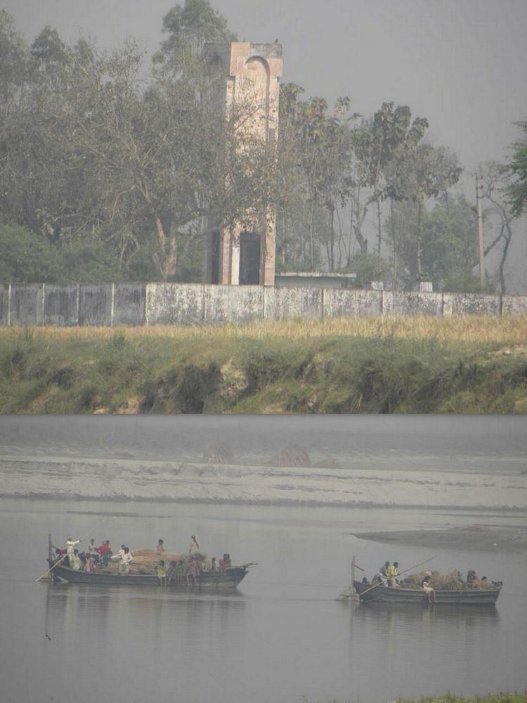
A Shaheed Smarak was constructed by Government of Uttar Pradesh at south-western part of the village, in the memory of martyrs who took part in the India’s first war of freedom during 1857. It is situated at the bank of river Sarayu(Ghaghra) and the place locally known as "Satihara". It is a place to recall the memory of those brave unknown warriors who laid down their precious lives during the freedom struggle in 1857.
Economy
0