
- elevation 1,100 m (3,609 ft) | - elevation 174 m (571 ft) | |
 | ||
- right Kewell Creek, Glen Creek - location below Mount Gregson, southwest of Murrurundi - location downstream of Glenbawn Dam | ||
Bridge and civil pages river underbridge 357 340km under construction
Pages River, a perennial river of the Hunter River catchment, is located in the Hunter region of New South Wales, Australia.
Contents
- Bridge and civil pages river underbridge 357 340km under construction
- Map of Pages River New South Wales Australia
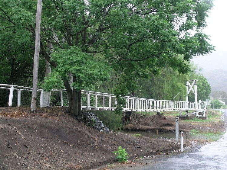
- Pages river 21 06 2016
- Course and features
- References
Map of Pages River, New South Wales, Australia
Pages river 21 06 2016
Course and features
The Pages River rises on the eastern slopes of the Great Dividing Range below Mount Gregson, southwest of Murrurundi, and flows generally east northeast, then southeast, and then south southwest before reaching its confluence with the Hunter River downstream of Glenbawn Dam. The river descends 923 metres (3,028 ft) over its 97 kilometres (60 mi) course.
References
Pages River Wikipedia(Text) CC BY-SA