Puneet Varma (Editor)

Pagasetic Gulf

Updated on
Edit
Like
Comment
Share on FacebookTweet on TwitterShare on LinkedInShare on Reddit
Pagasetic Gulf leshirondellesgr99tmthickboxdefaultcruisei

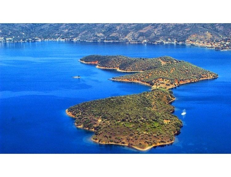
The Pagasetic Gulf (Greek: Παγασητικός κόλπος, Pagasitikós kólpos; 39°15′N 23°00′E) is a rounded gulf (max. depth 102 metres) in the Magnesia regional unit (east central Greece) that is formed by the Mount Pelion peninsula. It is connected with the Euboic Sea. The passage into the Euboic Sea is narrow and is about 4 km.

Contents

Map of Pagasitikos Kolpos, Greece

Its main port is Volos.

Places within the gulf

In clockwise order:

  • Amaliapolis, W, port
  • Alos, W, no port
  • Almyros, W, no port
  • Nea Anchialos, NW, beach, port,
  • Pagasae, NW, no port
  • Demetrias, NW, no port
  • Iolkos, NW, no port
  • Volos, N, main port
  • Agria, NE, beach, port
  • Neochori, E, no port,
  • Argalasti, E, no port, beaches (Lefokastro, Kalamos, Horto)
  • Milina, SE, no port, beaches
  • Trikeri, S, port at Agia Kyriaki, beaches
  • The gulf took its name from the ancient city of Pagasae.

    References

    Pagasetic Gulf Wikipedia