
Population 3,491 (2011 census) Postal code 2211 | Postcode(s) 2211 | |
 | ||
LGA(s) Canterbury-Bankstown Council | ||
Padstow Heights, a suburb of local government area Canterbury-Bankstown Council, located 23 kilometres south-west of the Sydney central business district, in the state of New South Wales, Australia. It is a part of the South-western Sydney region. Padstow is a separate suburb to the north and One Tree Point is a locality within Padstow Heights.
Contents
Map of Padstow Heights NSW 2211, Australia
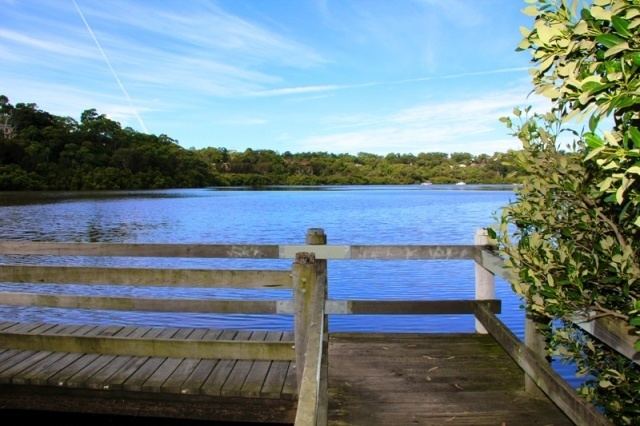
Padstow Heights is a mostly residential suburb bounded on the east by Salt Pan Creek and to the south by the Georges River. The Alfords Point Bridge links Padstow Heights to Alfords Point in the Sutherland Shire The local bus, the 927 takes residents between One Tree Point and Padstow.
The local bus route, 927 takes residents from One Tree Point to Padstow.
History
The Padstow area was first named Padstow Park Estate after a town called Padstow in Cornwall, England. It was named for being the "holy place of St Petrock" (not to be confused with St Patrick), an important Cornish saint.