
Basin area 18,344 km² Discharge 175 m³/s | Length 145 km Mouth elevation 0 | |
 | ||
Main source Lake Inari118 metres (387 ft) River mouth Bøkfjorden0 metres (0 ft) Basin size 18,344 km (7,083 sq mi) | ||
The Paatsjoki River (Finnish: Paatsjoki, Skolt Sami: Paaččjokk, Northern Sami: Báhčaveaijohka, Norwegian: Pasvikelva, Swedish: Pasvik älv, Russian: Паз or Патсойоки) is a river that flows through Finland, Norway, and Russia. Since 1826, the river has marked parts of the Norway–Russia border, except from 1920 to 1944 when it was along the Finland–Norway border.
Map of Paatsjoki
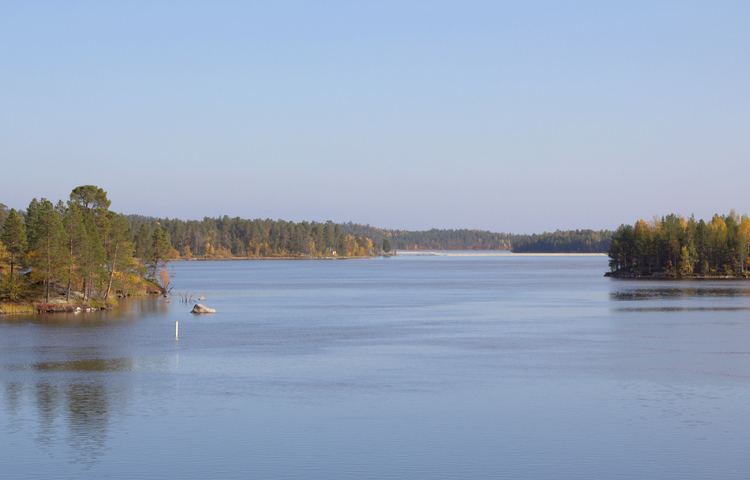
The river is the outlet from the large Lake Inari in Finland and flows through Norway and Russia to discharge into the Bøkfjorden (which later flows into the Varangerfjorden and then the Barents Sea), not far from the town of Kirkenes. The river has a watershed of 18,404 square kilometres (7,106 sq mi), and is 145 kilometres (90 mi) long. A series of hydroelectric stations, known as the Paatsjoki River Hydroelectric Plants, are along the river.
The river provides good fishing opportunities for Atlantic salmon, although fishermen must ensure that their fishing lines do not cross the international border.