
Time zone CST (UTC-6) Area 92.23 km² Population 1,213 (2010) | Established November 4, 1856 Elevation 245 m Local time Tuesday 4:57 PM | |
 | ||
ZIP codes 61262, 61413, 61465, 61468 Weather 10°C, Wind NE at 13 km/h, 71% Humidity | ||
Oxford Township is one of twenty-four townships in Henry County, Illinois, USA. As of the 2010 census, its population was 1,213 and it contained 554 housing units.
Contents
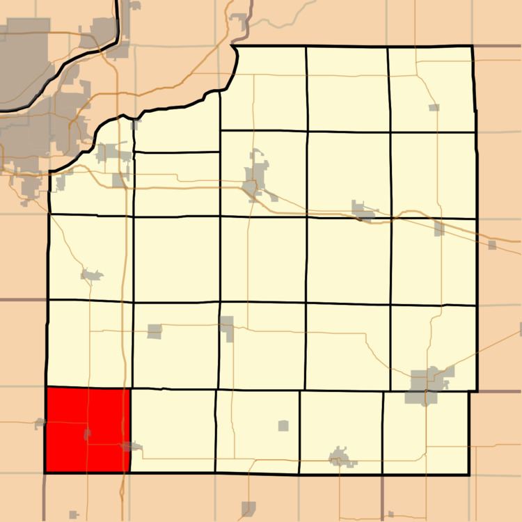
- Map of Oxford Township IL USA
- Geography
- Cities towns villages
- Extinct towns
- Adjacent townships
- Cemeteries
- Major highways
- Lakes
- School districts
- Political districts
- References
Map of Oxford Township, IL, USA
Geography
According to the 2010 census, the township has a total area of 35.61 square miles (92.2 km2), of which 35.56 square miles (92.1 km2) (or 99.86%) is land and 0.04 square miles (0.10 km2) (or 0.11%) is water.
Cities, towns, villages
Extinct towns
(These towns are listed as "historical" by the USGS.)
Adjacent townships
Cemeteries
The township contains these four cemeteries: Alpha, Oxford, Saint Johns and Summit Level.
Major highways
Lakes
School districts
Political districts
References
Oxford Township, Henry County, Illinois Wikipedia(Text) CC BY-SA