
Country United States FIPS code 19-60690 Area 179 ha Zip code 52323 Local time Tuesday 4:41 PM | Time zone Central (CST) (UTC-6) GNIS feature ID 0459977 Elevation 223 m Population 491 (2013) Area code 563 | |
 | ||
Weather 11°C, Wind NE at 13 km/h, 70% Humidity | ||
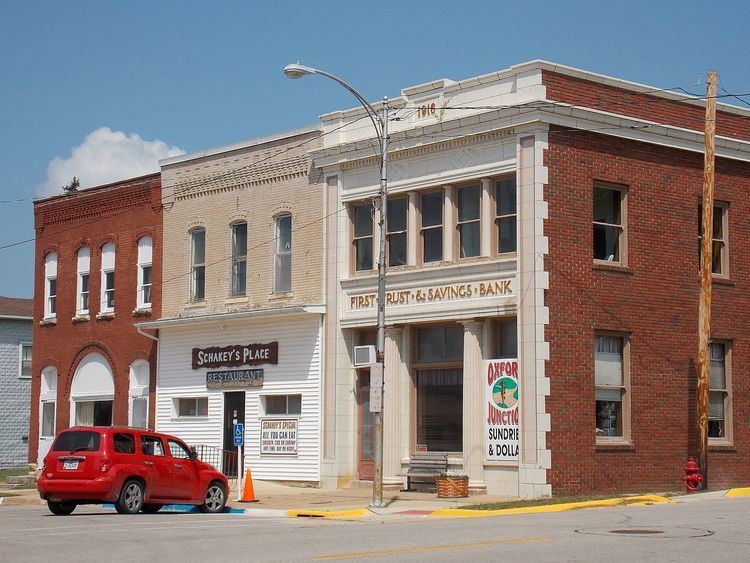
Oxford Junction is a city in Jones County, Iowa, United States. The population was 496 at the 2010 census. It is part of the Cedar Rapids Metropolitan Statistical Area.
Contents
Map of Oxford Junction, IA 52323, USA
History
Oxford Junction was platted in 1872, at the time the railroad was built. It is named for its location at the junction of two railroad lines.
Geography
Oxford Junction is located at 41°59′00″N 90°57′16″W (41.983203, -90.954480).
According to the United States Census Bureau, the city has a total area of 0.69 square miles (1.79 km2), all of it land.
2010 census
As of the census of 2010, there were 496 people, 223 households, and 141 families residing in the city. The population density was 718.8 inhabitants per square mile (277.5/km2). There were 262 housing units at an average density of 379.7 per square mile (146.6/km2). The racial makeup of the city was 99.0% White, 0.6% Native American, and 0.4% Asian.
There were 223 households of which 26.0% had children under the age of 18 living with them, 46.2% were married couples living together, 13.0% had a female householder with no husband present, 4.0% had a male householder with no wife present, and 36.8% were non-families. 31.8% of all households were made up of individuals and 18.4% had someone living alone who was 65 years of age or older. The average household size was 2.22 and the average family size was 2.75.
The median age in the city was 45.5 years. 22.2% of residents were under the age of 18; 7.4% were between the ages of 18 and 24; 19% were from 25 to 44; 29.2% were from 45 to 64; and 22.2% were 65 years of age or older. The gender makeup of the city was 50.0% male and 50.0% female.
2000 census
As of the census of 2000, there were 573 people, 236 households, and 151 families residing in the city. The population density was 813.3 people per square mile (316.1/km²). There were 264 housing units at an average density of 374.7 per square mile (145.6/km²). The racial makeup of the city was 98.95% White, 0.17% Native American, 0.17% Asian, and 0.70% from two or more races. Hispanic or Latino of any race were 0.17% of the population.
There were 236 households out of which 33.5% had children under the age of 18 living with them, 50.4% were married couples living together, 7.6% had a female householder with no husband present, and 36.0% were non-families. 32.6% of all households were made up of individuals and 22.9% had someone living alone who was 65 years of age or older. The average household size was 2.43 and the average family size was 3.09.
In the city, the population was spread out with 27.2% under the age of 18, 8.0% from 18 to 24, 24.1% from 25 to 44, 19.7% from 45 to 64, and 20.9% who were 65 years of age or older. The median age was 39 years. For every 100 females there were 89.1 males. For every 100 females age 18 and over, there were 84.5 males.
The median income for a household in the city was $30,417, and the median income for a family was $35,625. Males had a median income of $26,875 versus $17,333 for females. The per capita income for the city was $13,805. About 18.5% of families and 18.9% of the population were below the poverty line, including 24.0% of those under age 18 and 12.1% of those age 65 or over.