
 | ||
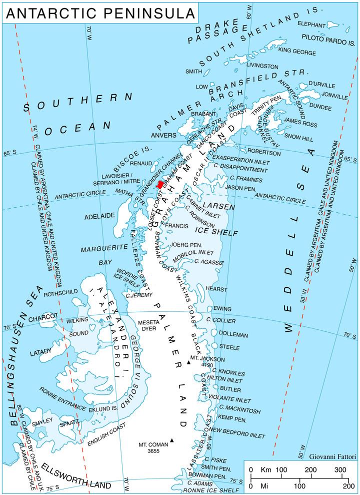
Owlshead Peak (66°19′S 65°49′W) is a peak 1.5 nautical miles (2.8 km) east of Cape Bellue on Stresher Peninsula on the west coast of Graham Land. Photographed by the Falkland Islands and Dependencies Aerial Survey Expedition (FIDASE) in 1956-57. The name is descriptive of the feature when seen from Crystal Sound and Darbel Bay.
Map of Owlshead Peak, Antarctica
This article incorporates public domain material from the United States Geological Survey document "Owlshead Peak" (content from the Geographic Names Information System).
References
Owlshead Peak Wikipedia(Text) CC BY-SA