
Country | Region Omusati Region | |
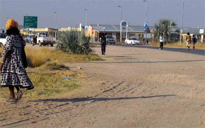 | ||
Map of Outapi
Outapi wa Nakafingo na Temba, also Outapi or Uutapi and Ombalantu, is a town in northern Namibia near the border with Angola situated 90 km (56 mi) northwest of Oshakati. It is the capital of Omusati region and the district capital of the Outapi electoral constituency. The language spoken there is Oshiwambo.
Contents
- Map of Outapi
- Outapitownpromotional video m4v
- Nampa outapi govr on developments 16 july 2013
- References
The town normally receives an annual average rainfall of 440 millimetres (17 in), although in the 2010/2011 rainy season 723 millimetres (28.5 in) were measured.
In 2001, Outapi was the smallest town in Namibia, with a population of just over 2,600. It is, however, developing rapidly. There is a large number of newly constructed government buildings and shops in the south of the town.
Outapi is governed by a town council that currently has seven seats. It features several schools, a community hall, a hospital and a police station. There are two open markets, one at the baobab tree and one at Onhimbu. There is also a tourist lodge.
Within the former South African Army base is the famous Omukwa Ombalantu baobab tree, a baobab whose huge hollow trunk has been used in the past as a post office, a chapel, and a coffee shop, and now houses a craft shop.
The town hosts the annual Olufuko Festival, which was initiated in 2012. The festival is a combination of a business expo and cultural celebrations, of which the initiation ceremony that prepares teenage girls for womanhood is the heart of the festival. Namibia's first president and founding father, Sam Nujoma, is the patron of the Olufuko Festival.