
Population 358 (2006 census) Elevation 561 m Postal code 2653 | Postcode(s) 2653 Local time Wednesday 2:42 AM | |
 | ||
Weather 19°C, Wind N at 14 km/h, 88% Humidity | ||
Munderoo is a rural community in the south east part of the Riverina. It is situated about 11 kilometres west from Mannus, and 16 kilometres north from Ournie. At the 2006 census, Munderoo had a population of 358 people.
Map of Munderoo NSW 2653, Australia
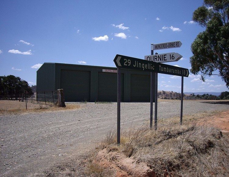
The area took its name from a farming property Mundaroo which is situated near the Ournie Road and Linden Roth Drive T-intersection.
The only public building in the area is the Bush Fire Brigade Shed situated on that same intersection.
References
Munderoo, New South Wales Wikipedia(Text) CC BY-SA