
Country United States Time zone CST (UTC-6) Elevation 194 m Population 2,582 (2010) | Established December 11, 1855 ZIP codes 60901, 60922, 60941 Area 125.7 km² Local time Monday 7:08 PM | |
 | ||
Weather 8°C, Wind N at 19 km/h, 99% Humidity | ||
Otto Township is one of seventeen townships in Kankakee County, Illinois, USA. As of the 2010 census, its population was 2,582 and it contained 937 housing units. It was formed from portions of Aroma and Limestone townships on December 11, 1855 as Carthage Township; its name was changed to Otto Township on March 11, 1857.
Contents
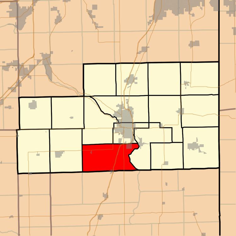
- Map of Otto Township IL USA
- Geography
- Cities towns villages
- Unincorporated towns
- Adjacent townships
- Cemeteries
- Major highways
- Airports and landing strips
- Government
- Political districts
- School districts
- References
Map of Otto Township, IL, USA
Geography
According to the 2010 census, the township has a total area of 48.53 square miles (125.7 km2), of which 48.21 square miles (124.9 km2) (or 99.34%) is land and 0.32 square miles (0.83 km2) (or 0.66%) is water.
Cities, towns, villages
Unincorporated towns
(This list is based on USGS data and may include former settlements.)
Adjacent townships
Cemeteries
The township contains these two cemeteries: Barnett and Saint James.
Major highways
Airports and landing strips
Government
The township is governed by an elected Town Board of a Supervisor and four Trustees. The Township also has an elected Assessor, Clerk, Highway Commissioner and Supervisor. The Township Office is located at 809 East 4000 South Road, Kankakee, IL 60901. The township assessor is Bill Surprenant and his son Phil is the assistant assessor for Otto Township. The township clerk is Mauricio Rua.