
Country United States Time zone CST (UTC-6) Area 94.17 km² Population 214 (2010) | Established Before 1921 Elevation 204 m Local time Wednesday 11:23 AM | |
 | ||
ZIP codes 60911, 60922, 60927, 60941 Weather 0°C, Wind NE at 14 km/h, 55% Humidity | ||
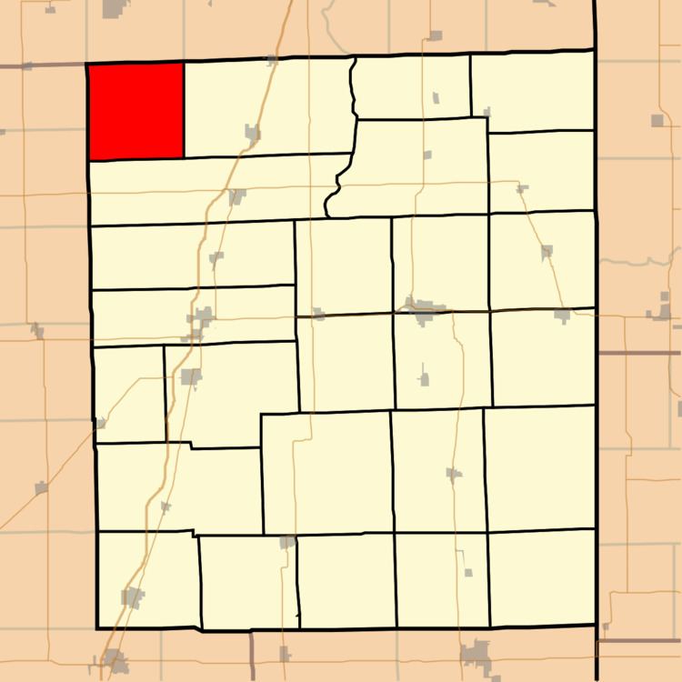
Milks Grove Township is one of twenty-six townships in Iroquois County, Illinois, USA. As of the 2010 census, its population was 214 and it contained 79 housing units. Milks Grove Township formed from a portion of Chebanse Township on an unknown date, but before 1921. Milks Grove is named for the late 19th-century midwestern land speculator Lemuel Milk.
Contents
- Map of Milks Grove Township IL USA
- Geography
- Cemeteries
- Airports and landing strips
- School districts
- Political districts
- References
Map of Milks Grove Township, IL, USA
Geography
According to the 2010 census, the township has a total area of 36.36 square miles (94.2 km2), all land.
Cemeteries
The township contains Milk's Grove Cemetery.
Airports and landing strips
School districts
Political districts
References
Milks Grove Township, Iroquois County, Illinois Wikipedia(Text) CC BY-SA