
Postal code 05-805 Population 2,000 (2006) | Time zone CET (UTC+1) Area code(s) +48 22 Local time Monday 11:50 PM | |
 | ||
Weather 10°C, Wind W at 16 km/h, 63% Humidity | ||
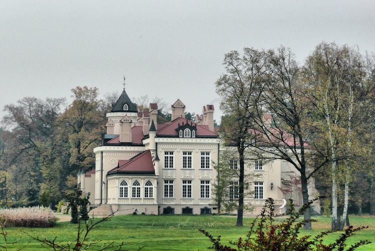
Otrębusy [ɔtrɛmˈbusɨ] is a village in Poland, in Masovian Voivodship, to the west of Warsaw in the Gmina Brwinów.
Contents
Map of Otr%C4%99busy, Poland
History
The first mention of Otrębusy come from Księgi Błońskie Ziemskie from 1525 and 1534. Latin spelling was used then: Otrambusche. Another source is Spis parafii województwa mazowieckiego (parish index of Masovian voivodship) from first half of the sixteenth century.
In 1948, in Karolin State Folk Group of Song and Dance 'Mazowsze' was founded.
In 1970 efforts to establish a parish begun. However, St. Mary the Virgin Mother of Church parish has been established in 1985.
Currently there are over 2000 residents in Otrębusy.
Communication
Tourism
References
Otrębusy Wikipedia(Text) CC BY-SA