
Elevation 1,367 m (4,485 ft) Area 20,064 km² | Local time Tuesday 5:02 AM | |
 | ||
Country People's Republic of China Weather -3°C, Wind N at 11 km/h, 92% Humidity | ||
Otog Banner (Mongolian: ᠣᠲᠣᠭ ᠬᠣᠰᠢᠭᠤ Ото қосиу Otoɣ qosiɣu; Chinese: 鄂托克旗; pinyin: Ètuōkè Qí) is a banner of southwestern Inner Mongolia, People's Republic of China. It is under the administration of Ordos City, and borders Otog Front Banner to the southwest and Uxin Banner to the southeast.
Contents
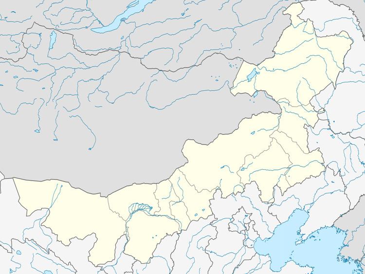
Map of Otog, Ordos, Inner Mongolia, China
Geography and climate
Otog Banner is located in the southwest of Inner Mongolia and the west of Ordos City's administration, with a latitude range of 38° 18' to 40° 11' N and a longitude range of 106° 41' to 108° 54', spanning 209 kilometres (130 mi) north to south and 188 kilometres (117 mi) west to east. Its total area is 20,064 square kilometres (7,747 sq mi).
Otog Banner has a monsoon-influenced, continental cold desert climate (Köppen BWk), with long, cold and very dry winters, and hot, slightly wetter summers. The monthly daily average temperature ranges from −9.9 °C (14.2 °F) in January to 24.1 °C (75.4 °F) in July, and the annual mean is 8.08 °C (46.5 °F). Only during the summer months does significant rainfall occur, and there is an average of 146 millimetres (5.7 in) of precipitation annually. There are 3,000 hours of sunshine and 122 frost-free days per year.