
Constituency Otjinene Constituency Population 2,102 (2011) | Climate BSh Local time Monday 10:47 PM | |
 | ||
Time zone South African Standard Time (UTC+1) Weather 19°C, Wind NE at 6 km/h, 73% Humidity | ||
Otjinene village thu nbc
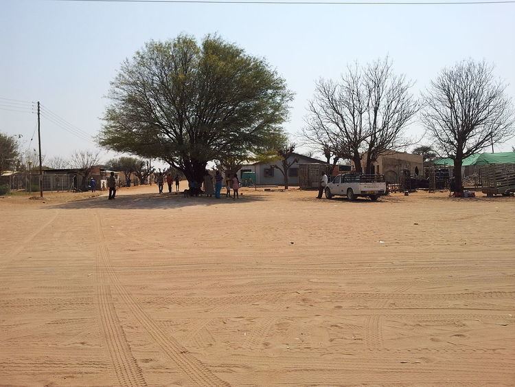
Otjinene is a village in the Omaheke Region of Namibia. It is the district capital of Otjinene Constituency. Otjinene is connected via a 157 kilometres (98 mi) tarred road to the regional capital Gobabis, and via a 227 kilometres (141 mi) road to be tarred in 2017 to Grootfontein.
Contents
Map of Otjinene, Namibia
Otjinene is surrounded by a communal area, where there are many villages. There are more or less 20 households in each village. The majority of the people around Otjinene are communal farmers, farming with cattle, goats and sheep. There is one health clinic which operates under the Ministry of Health and Social Services, and a number of retail stores.
c. 18 kilometres (11 mi) to the Northeast is the Ozombuzovindimba heritage site. This is the place where in 1904 Lothar von Trotha issued the extermination order against the OvaHerero and Nama people, starting the Herero and Namaqua Genocide which would kill about 80% of all OvaHerero. OvaHerero and OvaMbanderu people gather annually here to commemorate lives and deaths of their ancestors.
Politics
Otjinene was proclaimed a village in 2011. Since then it is governed by a village council that currently has five seats.