
Elevation 120 m (390 ft) Area 3.8 km² Local time Monday 10:02 PM | Time zone EET (UTC+2) Population 8,400 (2014) Team FC Nistru Otaci | |
 | ||
Weather 10°C, Wind NW at 6 km/h, 64% Humidity | ||
Matthew bronfman at otaci
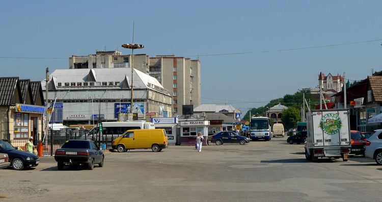
Otaci (formerly Ataki, Russian Атаки) is a town (population 8,400) on the southwestern bank of the Dniester River, which at that point forms the northeastern border of Moldova. On the opposite side of the Dniester lies the Ukrainian city of Mohyliv-Podilskyi, and the two municipalities are connected by a bridge over the river. Otaci is located in Ocniţa District.
Contents
Map of Otaci, Moldova
It is first attested in the 15th century; as part of Bessarabia, it was given by the Ottoman Empire to the Russian Empire following the Russo-Turkish War, 1806-1812, although the region belonged to Moldavia (a vassal state of the Ottomans), and by the 1890s it had become a poor, heavily Jewish village. In April 1918, during the last stages of World War I, it became part of Romania. In 1940, as a consequence of the Molotov-Ribbentrop Pact, the Red Army entered Bessarabia and incorporated it into the USSR. In 1991 Moldova became independent, and in 1994 Otaci achieved the status of oraş (city).