
ISO 3166 code FI-12 Area 7,932 km² | Time zone EET (UTC+2) NUTS 195 Population 180,384 (2013) | |
 | ||
Destinations Vaasa, Jakobstad, Närpes, Kristinestad, Korsholm, Kaskinen, Nykarleby, Vörå, Isokyrö, Laihia, Malax, Svedjehamn Clubs and Teams Vaasan Sport, Vaasan Palloseura, FF Jaro Points of interest Nanoq, Ostrobothnian Museum, Vaasan auto‑ ja moottorimuseo, Tikanoja Art Museum, Näköalatorni Saltkaret Colleges and Universities Novia University of Applie, University of Vaasa, Vaasa University of Applie | ||
Ostrobothnia (Swedish: Österbotten; Finnish: Pohjanmaa) is a region of Finland. It is located in Western Finland. It borders the regions Central Ostrobothnia, Southern Ostrobothnia, and Satakunta and is one of the four modern regions making up the historical province of Ostrobothnia.
Contents
Map of Ostrobothnia, Finland
Ostrobothnia is one of the two Finnish regions with a Swedish-speaking majority (the other being the constitutionally monolingual province of Åland); Swedish-speakers make up 51.2%. The region contains both bilingual municipalities and ones that are exclusively Finnish or Swedish-speaking.
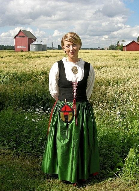
Geographically, Ostrobothnia has little topographical relief, because it is mostly former seafloor brought to surface by post-glacial rebound and the accumulation of alluvial sediment. Ostrobothnia has both vast expanses of cultivated fields (lakeus) as in Southern Ostrobothnia, and the archipelago of Kvarken (Finnish: Merenkurkku). Glacial transport has deposited large quantities of glacial erratics (rocks) in the area. Like elsewhere in Pohjanmaa, rivers are a prominent part of the landscape. The major rivers that discharge into the Gulf of Bothnia in Ostrobothnia are Kyrönjoki, Lapuanjoki and Ähtävänjoki.
The regional tree is the black alder (Alnus glutinosa), the regional mammal is the common elk (Alces alces alces), the regional stone is the Vaasa granite and the regional song is "The march of Vaasa" (Swedish: Vasamarschen, Finnish: Vaasan marssi).
In local circles or communities, Ostrobothnia is often referred to as "Pampas" and a person from Ostrobothnia is called a "Pampees". The word derives from the similarities in the flat landscape with the Pampas area in South America.
Municipalities
The region of Ostrobothnia is made up of 15 municipalities, of which six have city status (marked in bold), and the links are only in the majority language names.
Former municipalities:
Heraldry
The sprouting wheatsheaf is a symbol of the Royal House of Vasa; a Vasa king established the city of Vaasa, the capital of the region. The running stoats are a symbol of Ostrobothnia.