
City rights 1993 Area 2,334 km² Local time Tuesday 2:22 PM | Charter 1867 Time zone EET (UTC+2) Municipal tax rate 20% | |
 | ||
Area rank 80th largest in Finland Weather 2°C, Wind SE at 24 km/h, 82% Humidity Team Närpes Kraft Fotbollsförening | ||
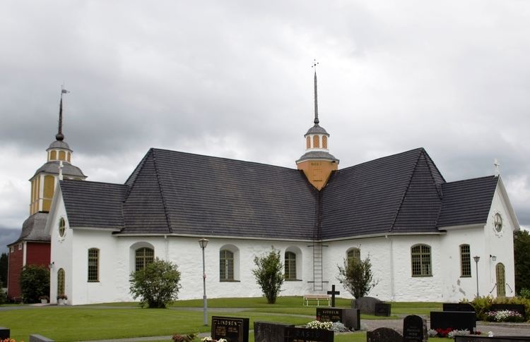
Närpes (Finnish: Närpiö) is a town and municipality of Finland.
Contents
Map of 64200 N%C3%A4rpes, Finland
The municipality is located in the former province of Western Finland (all provinces were abolished in 2010) and is part of the Ostrobothnia region. The town has a population of 9,392 (31 March 2016) and covers an area of 977.52 square kilometres (377.42 sq mi) of which 1,357 km2 (524 sq mi) is water. The population density is 9.61 inhabitants per square kilometre (24.9/sq mi).
Närpes has been a bilingual municipality since 2016. Before that Närpes was the last unilingually Swedish-speaking municipality in continental Finland. Most locals speak a divergent variety of Ostrobothnian Swedish. The many bands who sing in that dialect include 1G3B and Nektor.
Economically, the municipality is known for extensive greenhouse farming of tomatoes and manufacture of trailers for trucks.
Twin towns — Sister cities
Närpes is twinned with: