
Country Germany Vehicle registration OAL | Time zone CET (UTC+1) | |
 | ||
Points of interest Neuschwanstein Castle, Hohenschwangau Castle, Weißensee (Füssen), Forggensee, Linderhof Palace Destinations | ||
Ostallgäu is a district in Swabia, Bavaria, Germany. It is bounded by (from the west and clockwise) the districts of Oberallgäu, Unterallgäu, Augsburg, Landsberg, Weilheim-Schongau and Garmisch-Partenkirchen, and by the Austrian state of Tyrol. The city of Kaufbeuren is enclosed by but does not belong to the district.
Contents
Map of Ostallg%C3%A4u, Germany
History
Before 1803 the region was split into several tiny states, most of them clerical states. When these states were dissolved in 1803, the Ostallgäu region became part of Bavaria. The kings of Bavaria soon evolved a special relationship with the region and built their famous castles of Hohenschwangau and Neuschwanstein there.
The district was established in 1972 by merging the former districts of Kaufbeuren, Marktoberdorf and Füssen.
Geography
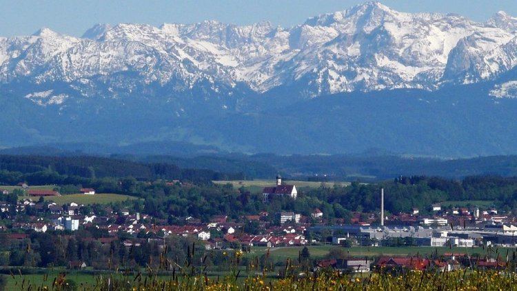
"Ostallgäu" literally means "Eastern Allgäu". The term Allgäu is applied to the part of the Alps located in Swabia and their northern foothills.
The district extends from the crest of the Alps to hilly countryside in the north. It is located on either side of the Wertach, an affluent of the Lech River. In the south there is a great number of alpine lakes, the largest of them being the Forggensee (16 km²).