
Canton Londinières Local time Monday 4:21 PM | Region Normandy Area 16.21 km² | |
 | ||
Intercommunality Communauté de communes de Londinières Weather 17°C, Wind E at 16 km/h, 47% Humidity | ||
Osmoy-Saint-Valery is a commune in the Seine-Maritime department in the Haute-Normandie region in north-western France.
Contents
Map of 76660 Osmoy-Saint-Valery, France
Geography
A farming village situated by the banks of the Béthune River in the Pays de Bray at the junction of the D 1 and the D 77 roads, some 15 miles (24 km) southeast of Dieppe.
History
Commune created in 1823 by the fusion of the three communes of Maintru, Osmoy and Saint-Velery-sous-Bures.
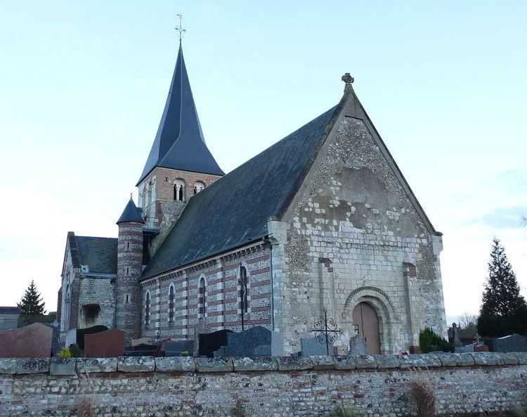
Places of interest
References
Osmoy-Saint-Valery Wikipedia(Text) CC BY-SA