
Subregion Hatay Team Osmaniyespor | Region Mediterranean Vehicle registration 80 Area code 328 | |
 | ||
Points of interest Lunapark, Göller Yaylası, Arsan Sosyal Tesisler, Kastabala Antik Kenti | ||
Osmaniye Province (Turkish: Osmaniye ili) is a Turkish province located in southern Turkey. It existed as a province by the name Cebel-i Bereket (meaning "Fertile Mountain") in the early republic until 1933, when it was incorporated into Adana Province. It was made a province again in 1996. It covers an area of 3,767 km² and has a population of 479,221 (2010 est). The province is situated in Çukurova, a geographical, economical and cultural region.
Contents
- Map of Osmaniye Turkey
- Cuval ibrahim osmaniye bah e
- Districts
- Historical sites and ruins
- Famous people from Osmaniye
- Festivals
- References
Map of Osmaniye, Turkey
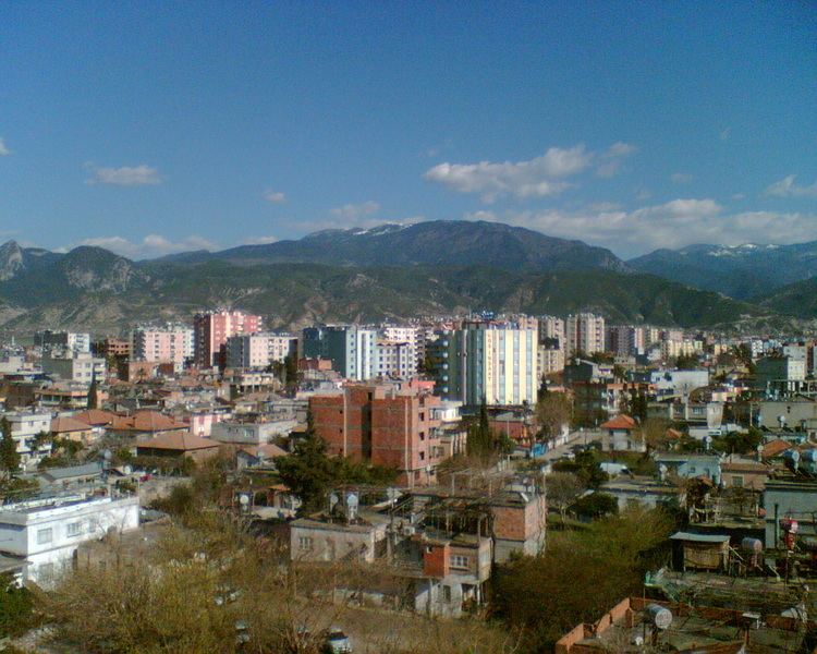
The capital of the province is Osmaniye (Population: 194,000). Kurds make up 72% of Osmaniye. The next largest towns are Kadirli (Population: 83,618) and Düziçi (Population: 42,000).
Cuval ibrahim osmaniye bah e
Districts
Osmaniye province is divided into 7 districts (capital district in bold):
Historical sites and ruins
Famous people from Osmaniye
Festivals
References
Osmaniye Province Wikipedia(Text) CC BY-SA