
Length 15.5 km | ||
 | ||
Major cities | ||
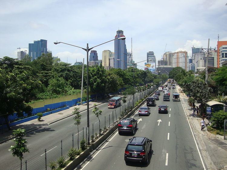
The Ortigas Avenue is a 15.5-kilometre (9.6 mi) highway traversing through the eastern part of Metro Manila and the western part of Rizal province. It is one of the busiest highways in Metro Manila, with more traffic than Epifanio de los Santos Avenue.
Contents
Map of Ortigas Ave, Philippines
The western terminus of the highway is at San Juan City. The highway then traverses through Ortigas Center and along the cities of Mandaluyong, Quezon City and Pasig, followed by the municipalities of Cainta and Taytay, ending in the city of Antipolo.
The portion of Ortigas Avenue from Eulogio Rodriguez Jr. Avenue (C-5) in Ugong to Taytay Diversion Road in Taytay is designated as a component of Radial Road 5 (R-5).
Route description
Ortigas Avenue starts as a physical continuation of Granada Street past Bonny Serrano Avenue in Quezon City. It then passes Greenhills Shopping Center, San Juan and the back of Wack Wack Golf and Country Club. It crosses EDSA at the EDSA-Ortigas Interchange and runs through Ortigas Center, making a slight curve on Meralco Avenue. The avenue soon cuts through Ugong enters Pasig and crosses Circumferential Road 5 at the C5-Ortigas Interchange. Past C-5-Ortigas Interchange, it is called Ortigas Avenue Extension. It soon crosses Marikina River and Manggahan Floodway, partially becomes a single carriageway and changing back into a dual carriageway, and then enters Cainta, Rizal past SM East Ortigas (formerly Ever Gotesco Ortigas). It crosses A. Bonifacio and Imelda Avenue at Cainta Junction, the original starting point of Manila East Road. Then it continues to Antipolo and passes over the Kaytikling Junction with Taytay Diversion Road to Manila East Road. Past Kaytikling, it follows a winding route to Antipolo, passing through some residential subdivisions before it ends at L. Sumulong Memorial Circle near Rizal Provincial Capitol. It then continues to downtown Antipolo as P. Oliveros Street, which ends near the Shrine of Our Lady of Peace and Good Voyage.