
Incorporated March 12, 1806 Population 10,362 (2010) Area code 207 | State Maine Settled 1774 Chartered 1969 Local time Sunday 10:13 PM | |
 | ||
Weather -1°C, Wind S at 8 km/h, 60% Humidity | ||
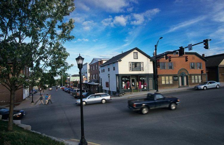
Orono (/ˈɒrənoʊ/) is a town in Penobscot County, Maine, United States. Located on the Penobscot and Still Water Rivers, it was first settled by Europeans in 1774 and named in honor of Chief Joseph Orono, a sachem of the Penobscot nation. It is home to the University of Maine. The town's population was 10,362 at the 2010 census.
Contents
- Map of Orono ME USA
- University inn academic suites orono maine
- Geography
- Climate
- 2010 census
- 2000 census
- Notable people
- Points of interest
- References
Map of Orono, ME, USA
University inn academic suites orono maine
Geography
According to the United States Census Bureau, the town has a total area of 19.60 square miles (50.76 km2), of which, 18.19 square miles (47.11 km2) of it is land and 1.41 square miles (3.65 km2) is water. The town is divided by the Stillwater River, a branch of the Penobscot River. It occupies part of Marsh Island, which is surrounded by the Penobscot and the Stillwater, and the remainder of the town is on the mainland. The Orono Dam impounds the Stillwater River at its confluence with the Penobscot River near downtown Orono.
Climate
This climatic region is typified by large seasonal temperature differences, with warm to hot (and often humid) summers and cold (sometimes severely cold) winters. According to the Köppen Climate Classification system, Orono has a humid continental climate, abbreviated "Dfb" on climate maps.
2010 census
As of the census of 2010, there were 10,363 people, 2,831 households, and 1,229 families residing in the town. The population density was 569.7 inhabitants per square mile (220.0/km2). There were 3,089 housing units at an average density of 169.8 per square mile (65.6/km2). The racial makeup of the town was 93.7% White, 1.2% African American, 1.1% Native American, 1.9% Asian, 0.4% from other races, and 1.7% from two or more races. Hispanic or Latino of any race were 1.5% of the population.
There were 2,831 households of which 17.8% had children under the age of 18 living with them, 32.9% were married couples living together, 7.0% had a female householder with no husband present, 3.5% had a male householder with no wife present, and 56.6% were non-families. 30.6% of all households were made up of individuals and 11.9% had someone living alone who was 65 years of age or older. The average household size was 2.29 and the average family size was 2.77.
The median age in the town was 21.8 years. 8.6% of residents were under the age of 18; 55.9% were between the ages of 18 and 24; 12.2% were from 25 to 44; 13.1% were from 45 to 64; and 10.4% were 65 years of age or older. The gender makeup of the town was 51.8% male and 48.2% female.
2000 census
As of the census of 2000, the town had a population of 9,112 people, 2,691 households, and 1,291 families residing in the town. The population density is 500.3 people per square mile (193.2/km²). There are 2,899 housing units at an average density of 159.2 per square mile (61.5/km²). The racial makeup of the town was 93.54% White, 1.38% Black or African American, 0.95% Native American, 2.39% Asian, 0.07% Pacific Islander, 0.52% from other races, and 1.15% from two or more races. Hispanic or Latino of any race were 1.21% of the population.
There were 2,691 households out of which 21.7% had children under the age of 18 living with them, 36.6% were married couples living together, 8.5% had a female householder with no husband present, and 52.0% were non-families. 31.5% of all households were made up of individuals and 10.0% had someone living alone who is 65 years of age or older. The average household size was 2.23 and the average family size was 2.81.
In the town, the population was spread out with 11.9% under the age of 18, 47.9% from 18 to 24, 17.1% from 25 to 44, 13.8% from 45 to 64, and 9.3% who were 65 years of age or older. The median age was 22 years. For every 100 females there were 102.5 males. For every 100 females age 18 and over, there were 102.1 males.
The median income for a household in the town was $30,619, and the median income for a family was $52,714. Males had a median income of $35,923 versus $24,943 for females. The per capita income for the town was $14,813. About 10.3% of families and 25.0% of the population were below the poverty line, including 21.8% of those under the age of 18 and 6.2% of those 65 and older are living below the poverty line.