
Area 10.86 km² | Local time Monday 1:50 AM | |
 | ||
Weather 6°C, Wind NE at 6 km/h, 79% Humidity | ||
The village of Ormeignies (Ath, Belgium) has an ancient history. Farmers in Neolithic time were settled there, as far back as 4000 BC.
Contents
- Map of Ormeignies 7802 Ath Belgium
- The farm of the Grande Rosire
- The castle of the Rouill family
- References
Map of Ormeignies, 7802 Ath, Belgium
The village church, dedicated to Saint Ursmer and built from stone and brick c.1780, is a good example of neo-classical architecture.
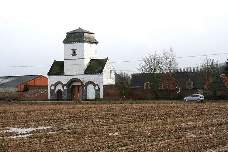
The farm of the Grande Rosière
The Rosiere seigniory belonged to Cambron-Casteau abbey that possessed more than one square kilometre of the village area. The farm of the Grande Rosière was run by monks until the 18th century. Sold as a national asset during in 1798 the French Revolution, it became the property of the prince of Ligne. Cambron-Casteau abbey also possessed the Little Rosière, built in 1755.
The castle of the Rouillé family
The ruins of the former of the Rouillé family is found at the end of the Green Path. The place is haunted by Angélique Pollart d'Hérimez (1756-1840), married to Louis-François de Rouillé, who left us letters evoking splendidly the life in her days in the country of Ath. Destroyed in 1866, the house is renconstructed in the Louis XIII style, according to the plans of Désiré Limbourg. It is put up for sale in 1834 and shortly thereafter dismantled. History is recalled in the park, designed by the architect Fuchs, where the vestiges of the castle and an old icehouse, Notre-Dame-des-Sept-Douleurs's neo-gothic chapel was renconstructed on the initiative of the local villagers.