
Population 439 (2011 census) Sovereign state United Kingdom UK parliament constituency Wellingborough | OS grid reference SP8672 Local time Monday 12:22 AM Dialling code 01933 | |
 | ||
Weather 4°C, Wind NE at 13 km/h, 90% Humidity | ||
Orlingbury is a village and civil parish in the English county of Northamptonshire. It is between the towns of Kettering and Wellingborough. Administratively it forms part of the borough of Wellingborough. At the time of the 2011 census, the parish's population was 439 people.
Contents
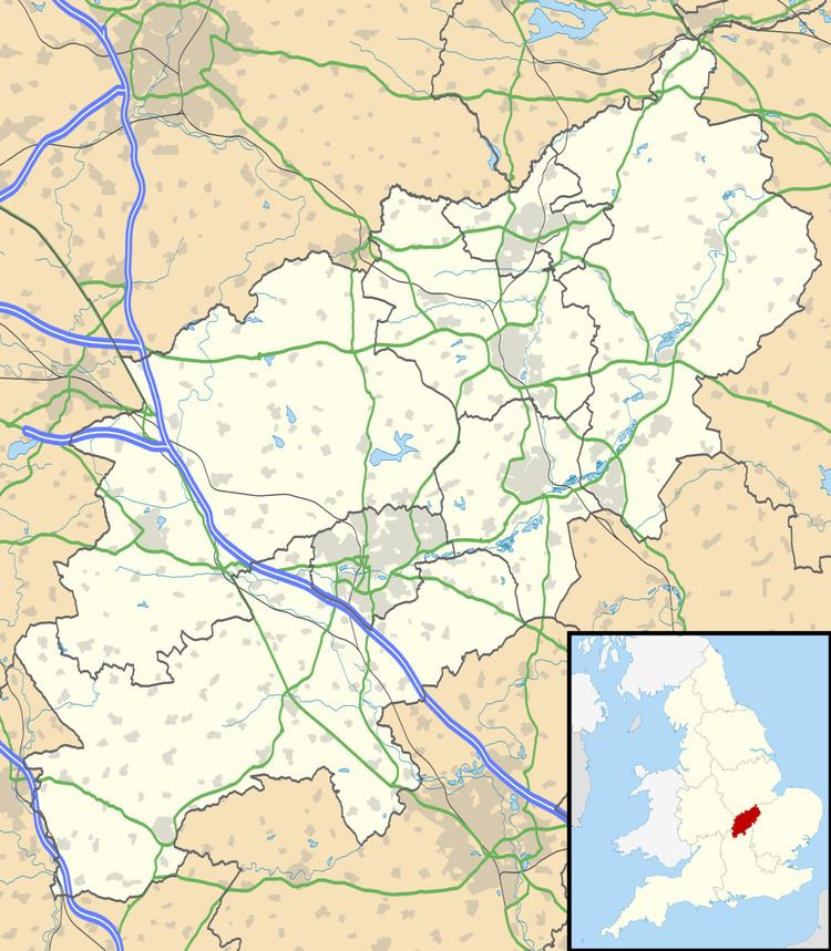
Map of Orlingbury, Kettering, UK
Notable buildings
The Historic England website contains details of a total of 16 listed buildings in the parish of Orlingbury. Those which are Grade II* are:
The Village Hall can be found at Rectory Lane and The Queen's Arms public house at Isham Road.
Wythmail
The site of the deserted village of Wythmail is in the parish of Orlingbury.
Cricket ground
On the outskirts of Orlingbury is a cricket ground, home of Isham Cricket Club who play in Division 1 of The Northamptonshire County League. Past players have included Stephen Fleming (New Zealand national cricket team Captain), Johann Myburgh (SA Titans) and John Hughes (Northamptonshire County Cricket Club).
According to local folklore, the man who killed the last wolf in England is buried in the church. He is known locally as Jock of Badsaddle.