
Average depth 1.3 metres (4 ft 3 in) Designation Pitt Water Nature Reserve | Area 33.34 km² | |
 | ||
Surface area 3,334 hectares (8,240 acres) | ||
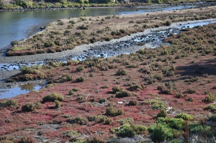
The Orielton Lagoon is a 3,334-hectare (8,240-acre) shallow dystrophic lagoon located west of Sorell in south east Tasmania, Australia.
Contents
Map of Orielton Lagoon, Tasmania, Australia
Description
The lagoon averages 1.3 metres (4 ft 3 in) in depth and is approximately 2.65 square kilometres (1.02 sq mi) in area, separated from Pitt Water by the Sorell Causeway. It is a Ramsar Wetland, providing habitat for migratory shorebirds and regionally significant flora and fauna. The lagoon is part of the South Arm Important Bird Area (IBA), identified as such by BirdLife International because of its importance for the conservation of pied oystercatchers and of the migratory waders, or shorebirds, of the East Asian – Australasian Flyway.
References
Orielton Lagoon Wikipedia(Text) CC BY-SA