
Population 2,476 (2011 census) Postcode(s) 7172 Local time Monday 6:38 PM | Established 1808 Postal code 7172 | |
 | ||
Location 4 km (2 mi) from Midway Point13 km (8 mi) from Richmond25 km (16 mi) from Hobart31 km (19 mi) from Dunalley53 km (33 mi) from Orford Weather 17°C, Wind E at 31 km/h, 57% Humidity | ||
Sorell is a town in Tasmania, Australia, north-east of Hobart. It is located on the Tasman Highway at the junction with the Arthur Highway. At the 2006 census, Sorell had a population of 1,546, and at the 2011 census, a population of 2,476.
Map of Sorell TAS 7172, Australia
Sorell was named after William Sorell, the third Lieutenant-Governor of Van Diemen's Land. Historically, it was known as a major town on the route from Hobart to Port Arthur on the Tasman Peninsula. It was the centre of an agricultural area and an important market town. It is now a dormitary town of Hobart, as well as the seat of the Sorell Council.
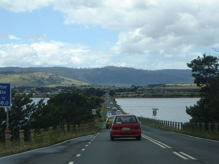
In 1872 the Sorell Causeway was opened, from the Cambridge direction, across Pitt Water and Orielton Lagoon to Sorell, stopping at Midway Point in the middle. This shortened the route considerably from the original road via Richmond.
Sorell Post Office opened on 1 June 1832.