Country United States Time zone CST (UTC-6) GNIS feature ID 0543559 Area 5.7 km² Population 418 (2010) | FIPS code 22-58150 Elevation 33 m Local time Sunday 11:20 AM Area code 337 | |
 | ||
Weather 23°C, Wind S at 0 km/h, 75% Humidity Parish | ||
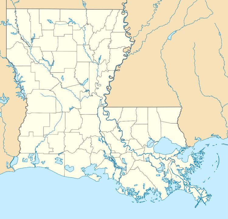
Oretta is a census-designated place in Beauregard Parish, Louisiana. As of the 2010 census, it had a population of 418.
Contents
Map of Oretta, LA 70660, USA
Geography
Oretta is located in southern Beauregard Parish at 30°31′32″N 93°26′13″W. Louisiana Highway 27 leads through the center of the CDP, leading north 25 miles (40 km) to DeRidder, the parish seat, and south 5 miles (8 km) to DeQuincy in Calcasieu Parish.
According to the United States Census Bureau, the Oretta CDP has a total area of 2.2 square miles (5.7 km2), all of it land.
References
Oretta, Louisiana Wikipedia(Text) CC BY-SA
